Remote Sensing Courses
Remote sensing courses can help you learn about satellite imagery analysis, geographic information systems (GIS), and environmental monitoring techniques. You can build skills in data interpretation, spatial analysis, and remote sensing applications in agriculture and urban planning. Many courses introduce tools like ArcGIS and QGIS, along with software for processing satellite data, that support analyzing and visualizing geographic information.
Popular Remote Sensing Courses and Certifications
 Status: Preview
University of Geneva
Skills you'll gain: General Science and Research, Scientific Methods, Experimentation, Scientific Visualization, Physical Science, Research, Science and Research, Quantitative Research, Physics, Mathematical Modeling, Mechanics
 Status: Free Trial
MathWorks
Skills you'll gain: Image Analysis, Matlab, Computer Vision, File I/O, Automation, Anomaly Detection, Engineering Practices, Data Preprocessing, Mathematical Software, Data Store
 Status: Free Trial
University of Michigan
Skills you'll gain: Sustainable Development, Sustainable Systems, Social Justice, Geographic Information Systems, Sustainable Business, Geospatial Information and Technology, Environmental Policy, Culture Transformation, Environmental Issue, Environmental Regulations, Environment, GIS Software, Geospatial Mapping, Spatial Data Analysis, Datamaps, Health Disparities, Leadership, Collaboration, Financial Analysis, Critical Thinking
Google Cloud
Skills you'll gain: Big Data, Analytics, Query Languages, Google Cloud Platform, Data Processing, Data Analysis, Data Integration
In summary, here are 4 of our most popular remote sensing courses
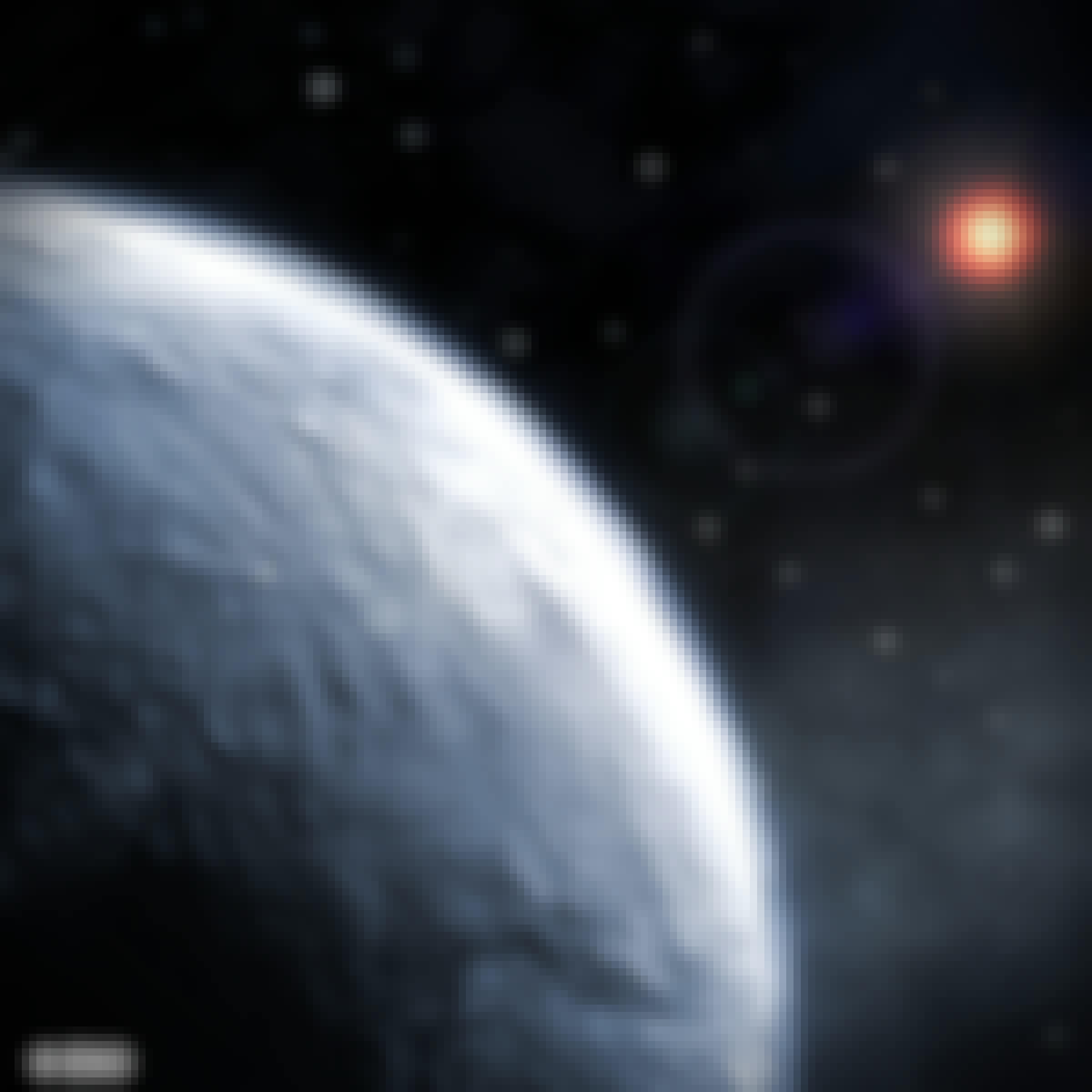
- The Diversity of Exoplanets: University of Geneva
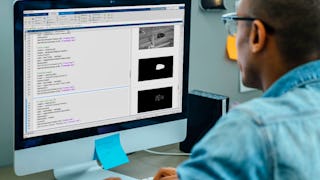
- Automating Image Processing: MathWorks
- Green Skills for a Sustainable and Just Future: University of Michigan
- Weather Data in BigQuery: Google Cloud


